


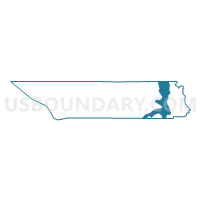
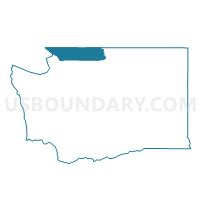
Ross Lake National Recreation Area, Whatcom County, Washington
About
Outline

Summary
| Unique Area Identifier | 690032 |
| Name | Ross Lake National Recreation Area |
| County | Whatcom County |
| State | Washington |
| Area (square miles) | 161.44 |
| Land Area (square miles) | 141.26 |
| Water Area (square miles) | 20.18 |
| % of Land Area | 87.50 |
| % of Water Area | 12.50 |
| Latitude of the Internal Point | 48.81293920 |
| Longtitude of the Internal Point | -121.07426390 |
Maps

Graphs
Select a template below for downloading or customizing gragh for Ross Lake National Recreation Area, Whatcom County, Washington


Neighbors
Neighoring Voting District (by Name) Neighboring Voting District on the Map
- Voting District 146, Whatcom County, WA
- Cascade Voting District, Skagit County, WA
- Mount Baker National Forest Leg 39, Whatcom County, WA
- North Cascades National Park, Whatcom County, WA
- Skagit County, Skagit County, WA